Project update
Pole top photography - Summer 2021-22
Between November 2021 and March 2022, we used pole top photography to survey 46,870 power poles on our rural electricity network
View more

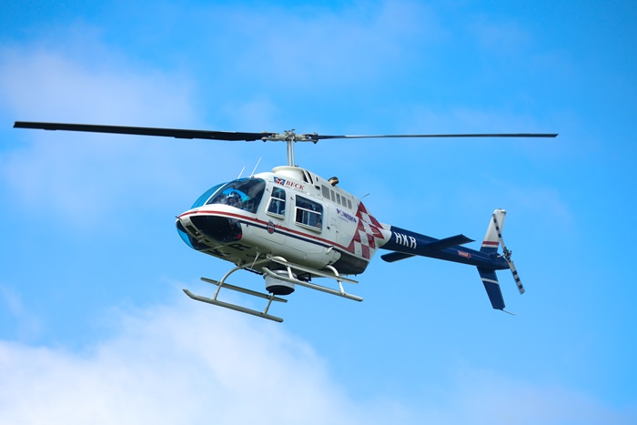
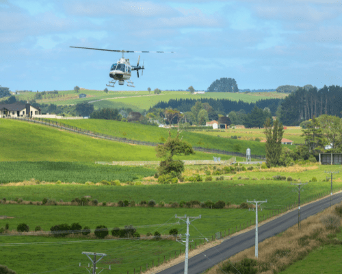
For the last few years, we've been using pole top photography and LiDAR (Light Detection and Ranging) technology on helicopters to regularly survey our network of 20,000km overhead lines and 264,000 poles.
Pole top photography involves flying over our network and using GPS coordinates to take high resolution digital photos of overhead lines, poles and associated equipment.
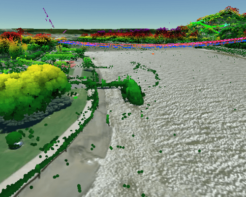
For LiDAR, a sensor mounted on the bottom of a helicopter measures how long it takes a laser to travel to the ground and return to the sensor. It then uses the information to render a 3D model of our network.
Both technologies allow us to quickly and effectively assess the condition of our network, check for defects, and monitor vegetation that has the potential to grow into lines.
It’s an efficient and effective way to monitor the condition of our assets, identify potential issues and resolve them before they cause harm or outages.
Per Civil Aviation Authority (CAA) requirements, the helicopter will only be flying in open air space. That means it will fly above 1,000 feet in urban areas, and above 500 feet in rural areas.
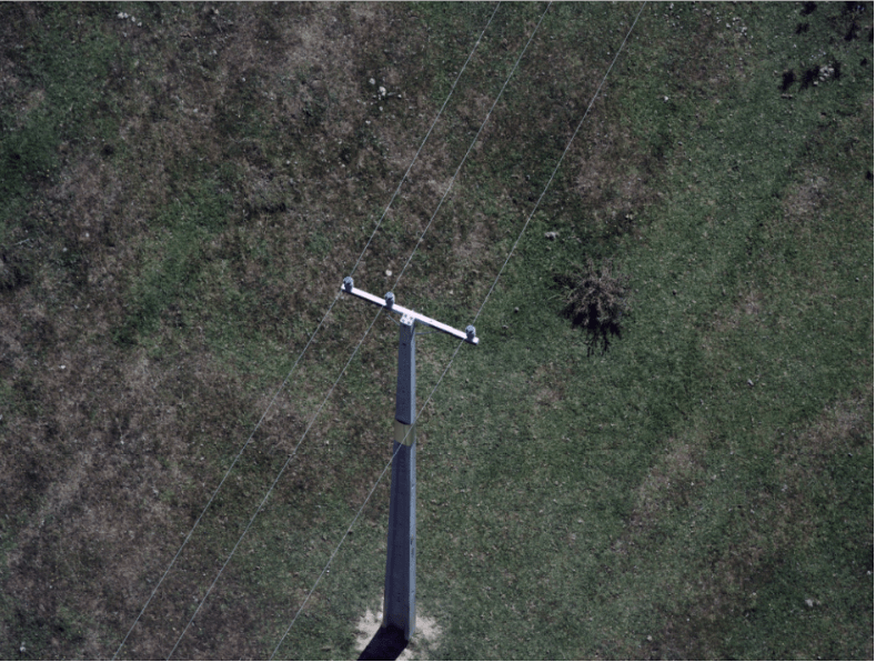
Your privacy will not be impacted by our survey work. We are only taking photos of our poles and crossarms, not residential properties. The photos are for internal asset assessment purposes only and are held in a secure location. Here is an example of the type of photos taken:
There are a few reasons we don't use drones:
drones available on the commercial market are not big enough to support the equipment required to carry out the type of work we're doing.
drones lack the ability to provide us with the quality and range of photographs we require to assess our assets.
drones can only last for a short period in the air before they need to be charged. It would require someone to travel with it on the ground across the network, which would be inefficient. A helicopter can run for several hours and cover much greater distances.
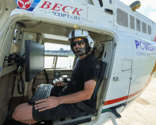
Aethon Aerial Solutions, who will contract local pilots to carry out the work.
Our electricity network stretches across the North Island, made up of about 264,000 poles. It is impossible for us to survey all of these in one summer, so we’ve been spreading out the surveys since 2018.
Once we have captured images of every rural pole through our surveying, we will likely move to routine inspections every one to two years.