
Pole top photography - 2024
Pole top photography - 2024
Do you have livestock or animals?
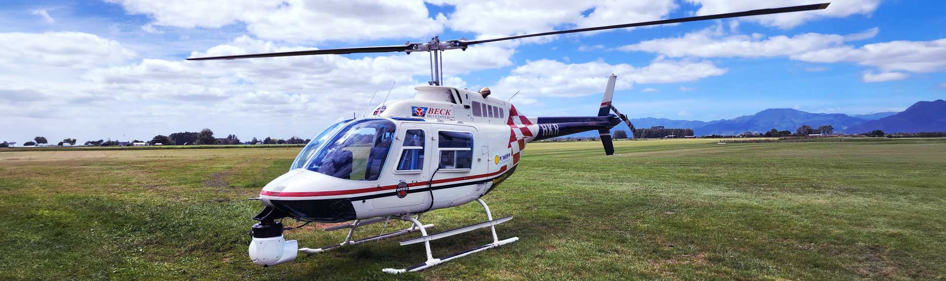
From October to December 2024, we’re using a low-flying helicopter to take photos of approximately 31,000 rural power poles across our electricity network. This allows us to find and fix any problems and help keep your lights on.
We know that helicopters can sometimes unsettle animals, livestock or disturb outdoor events. If you have concerns or want to know if we’ll be in your area, please check the flight details below or get in touch using the form below.
Helicopter in your area
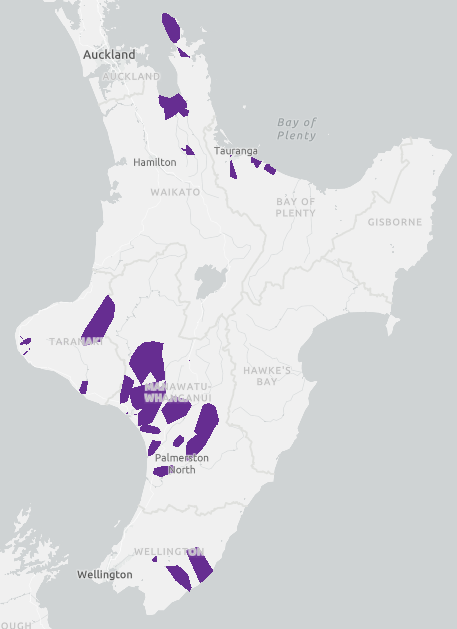
The work will be carried out in stages, starting in the Bay of Plenty, Coromandel, Whanganui, Wairarapa, Manawatū and finishing in Taranaki. The flight areas are indicated by the purple blocks on the map – these are a general guide only. To check if your specific address is impacted, view our flight area map on the link below. If you think you are going to be affected, and want to talk to our team, fill in the form below or contact our general enquiries team on generalenquiries@powerco.co.nz.
Any helicopter operating outside of the specified dates and locations below, is unrelated to this piece of Powerco work.
Please note that dates are indicative only – in the event of bad weather, work will be rescheduled.
Bay of Plenty and Coromandel - 8th October - 24th October
Manawatū and Wairarapa - 25th October - 9th December
Whanganui and Taranaki - 6th November - 15th December
Contact our team
FAQs
Per Civil Aviation Authority (CAA) requirements, the helicopter will only be flying in open air space. That means it will fly above 1,000 feet in urban areas, and above 500 feet in rural areas.
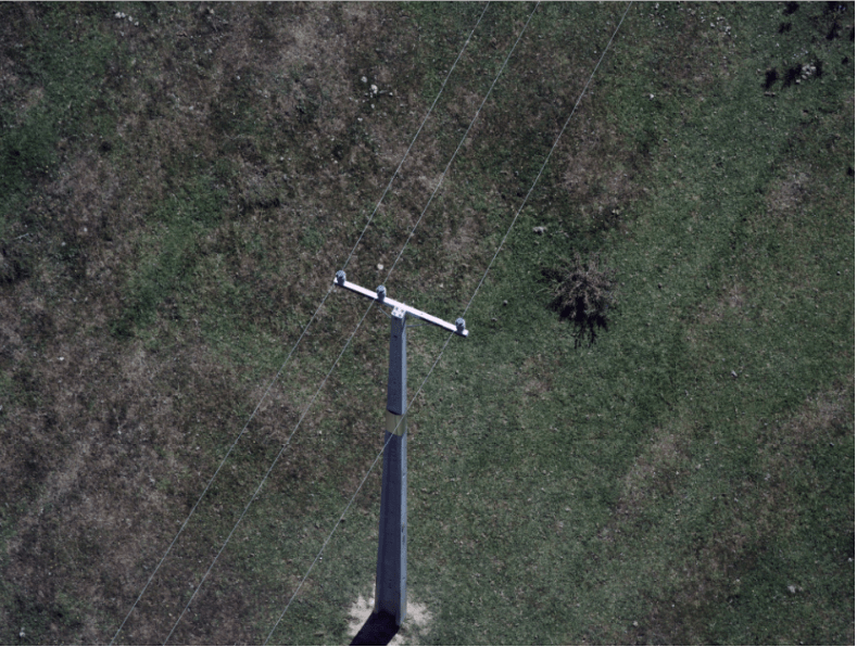
Your privacy will not be impacted by our survey work. We are only taking photos of our poles and crossarms, not residential properties. The photos are for internal asset assessment purposes only and are held in a secure location. Here is an example of the type of photos taken:
There are a few reasons we don't use drones:
-
Helicopters offer a fast way to cover the distance required, some of our power lines are over 200km long and completing the capture faster means less impact on our customers.
-
Civil Aviation New Zealand Rules say that we must maintain a visual line of sight with the aircraft and be able to see the surrounding airspace in which the aircraft is operating.
-
Powerco's network extends across every airspace type in New Zealand, this includes Control Zones, Military Areas and Low-flying Zones, all of which require a piloted aircraft to complete safely.
As legislation and technology process, Powerco will consider the use of fixed-wing or VTOL drones to complete future Pole Top Photography programmes.
Aethon Aerial Solutions, who will contract local pilots to carry out the work.
Our electricity network stretches across the North Island, made up of about 264,000 poles. It is impossible for us to survey all of these in one summer, so we’ve been spreading out the surveys since 2018.
Once we have captured images of every rural pole through our surveying, we will likely move to routine inspections every one to two years.